News
•
•
3min
Taiwan's Elite Police Tactical Unit Selects Farsight, the Offline 3D Mapping Used by US Forces
The Criminal Investigation Bureau Special Tactical Unit (CIB STU) has acquired Farsight through MIST Taiwan and is unveiling it as its newest tactical capability for situational awareness and mission readiness. MIST and Reveal are now moving to equip every agency that defends the island.

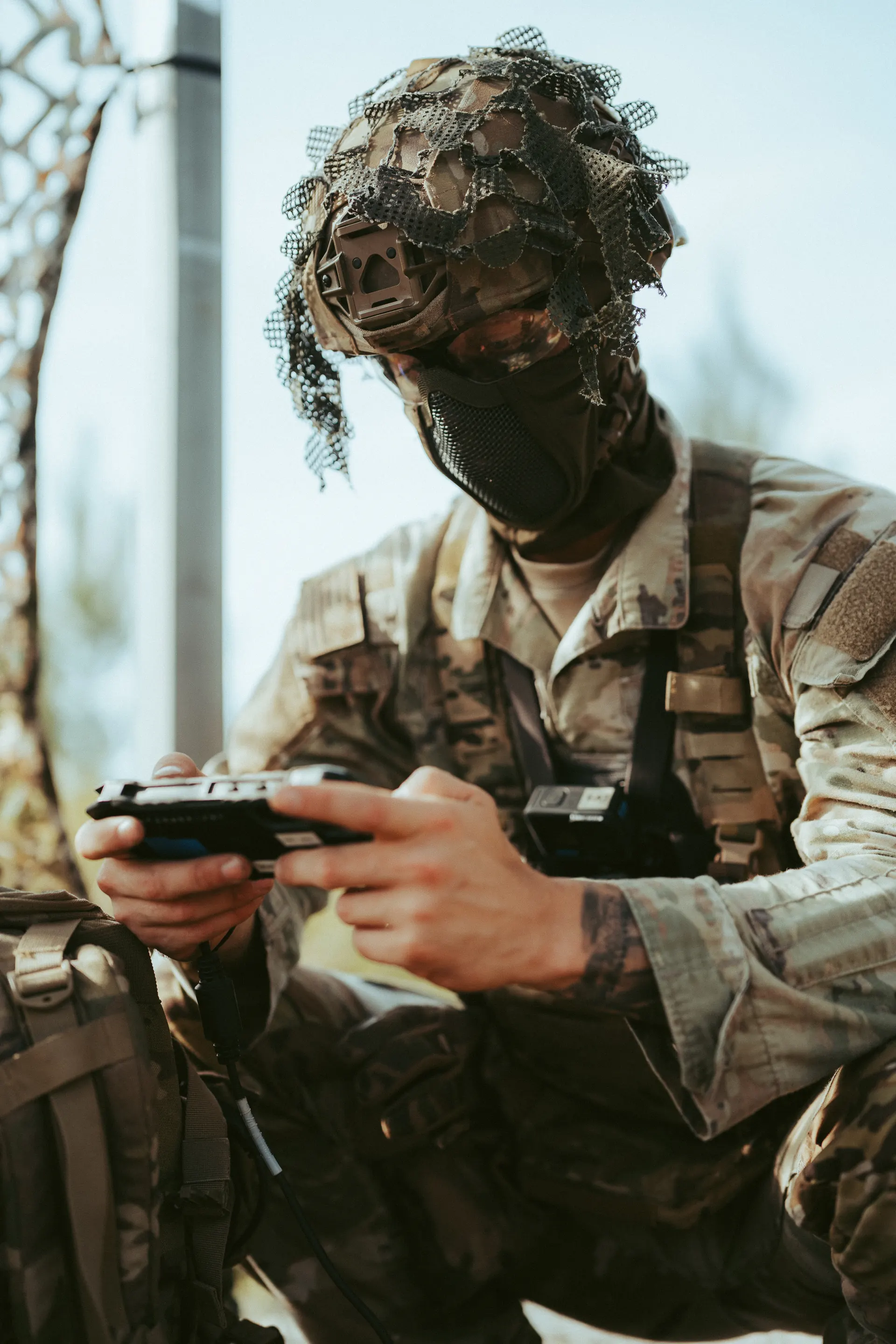
TAIPEI, Taiwan, November 3, 2026 MIST Taiwan (華新工程顧問有限公司) and Reveal Technology today announced that the CIB STU, Taiwan’s national-level police tactical unit, has acquired Farsight, the US-built software that turns drone video into maps and 3D models on the devices operators already carry. The CIB STU is presenting Farsight at a press conference unveiling its new equipment, as the unit’s newest tactical capability for situational awareness and mission readiness. The unit sits under the National Police Agency, Ministry of the Interior, and is the Criminal Investigation Bureau’s strike force against armed and organized violent crime. It now holds the same capability the US Army, US Special Operations Command and the US Marine Corps use in the field. Farsight keeps working when everything else goes dark.
Situational awareness for tactical missions
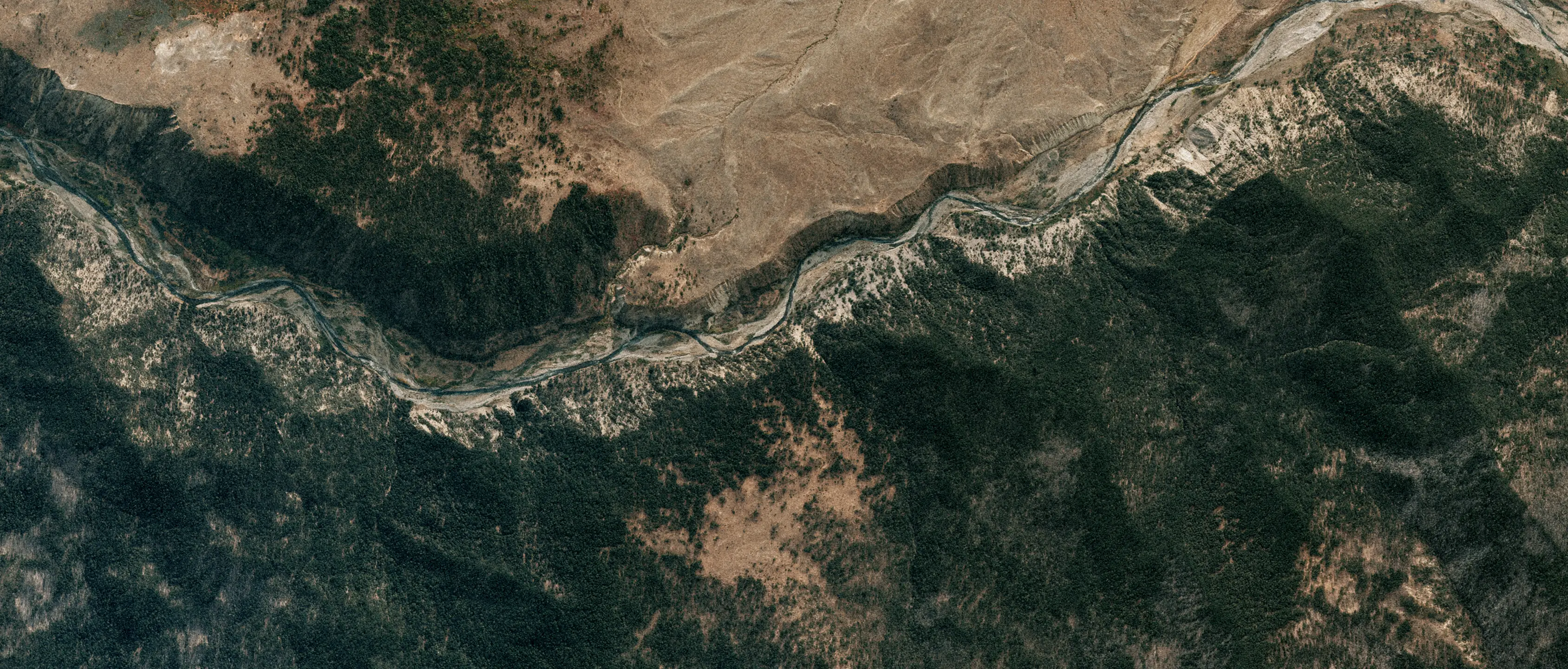
Farsight gives an assault team a current, measurable 3D picture of the ground it is about to enter, built from its own drone in minutes instead of imagery that may be months old.
Raids and hostage rescue. Before entry, the team flies the target, builds a 3D model of the building and its approaches, and checks line of sight from every window and rooftop to plan entry routes and overwatch. Shared over ATAK, every operator works from the same picture.
Urban operations. In dense city blocks, Farsight models building heights, rooftops, courtyards and alleys, shows which windows and rooftops overlook the objective and where the dead ground and choke points are, and measures distances and heights for cordons, sniper overwatch and vehicle approach routes.
Rural and mountain operations. Model a 100 m by 100 m area in about ten minutes, map the approaches and exits around a target in steep or wooded terrain, and survey helicopter landing zones.
Counter-terrorism, critical infrastructure and major events. Map ports, power plants, airports and event venues, find every line of sight onto a stage or motorcade route, and rehearse the response on the actual ground.
National defense. Squads map their own ground in real time for reconnaissance, route planning and landing zone selection, and assess damage to roads, bridges and ports, with all processing done on the device.
FARSIGHT AT A GLANCE
Real-time 2D maps and near-real-time 3D models from drone video, on standard phones and tablets
100% offline: all processing on the device, no cloud and no back-haul link to jam or intercept Line of sight, route and landing zone analysis in the field
Integrates with ATAK; no LiDAR required
Listed on the US DoD Blue UAS Framework; Authority to Operate (ATO); TRL 9
Used by the US Army, US Special Operations Command and the US Marine Corps
Built for Taiwan
Taiwan faces typhoons and earthquakes every year, and in any crisis, natural or deliberate, the networks operators depend on are among the first things to fail or be targeted. Farsight is built for exactly that. Taiwan is also building a trusted, non-red drone supply chain, and the software on those drones matters as much as the airframes. Taiwan’s
Presidential Office has made whole-of-society defense resilience a national priority, and every operator who can see the ground makes Taiwan harder to disrupt and faster to recover.
“Taiwan’s security rests on the people who protect it every day, and they deserve the best the United States and its allies can build. Reveal is exactly the partner we look for: proven with US forces and backed across the allied defense community. The CIB STU is the start, and we are already moving on what comes next.” - Ulf Lien, Chairman, MIST Taiwan
“Whoever sees the ground first wins, and in a real crisis the network will be jammed, cut or gone. Farsight does not need it. It gives Taiwan’s operators a 3D picture of the terrain in minutes, on the phones they already carry, with no connection to anything. The CIB STU is the first. We will not stop until every unit that defends this island, from the police to the armed forces, has this capability in its hands.” - Alex Hu, Global Sales Manager, MIST Taiwan
“Taiwan is a vital strategic partner for the United States and our allies around the world, and Reveal is proud to stand beside those working to keep the people of Taiwan safe. Along with our partners at MIST, we are putting Farsight’s advanced mapping capabilities, tested and depended on by the US military, directly into the hands of
the CIB STU. This is the beginning of a long partnership that will undoubtedly enhance Taiwanese security.” - Brittany Egosque, International Defense Strategy Manager, Reveal Technology
What comes next
MIST is building a full defense and security portfolio for Taiwan, including Reveal’s Identifi offline biometrics and MetraVib’s PILAR and PEARL gunshot detection. Following the CIB STU, MIST is bringing Farsight to more of Taiwan’s police tactical and counter-terrorism units, and on to national defense.